 |
| ||||||||||||||||||||||||||||||||||
| Post PNR | Post Blog | Advanced Search |
Filters:
Blog Posts by Pp
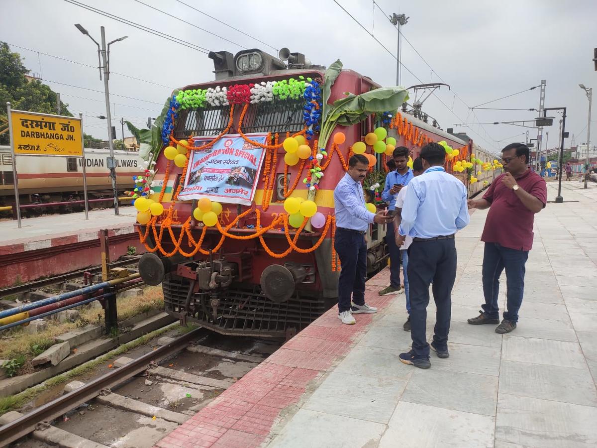
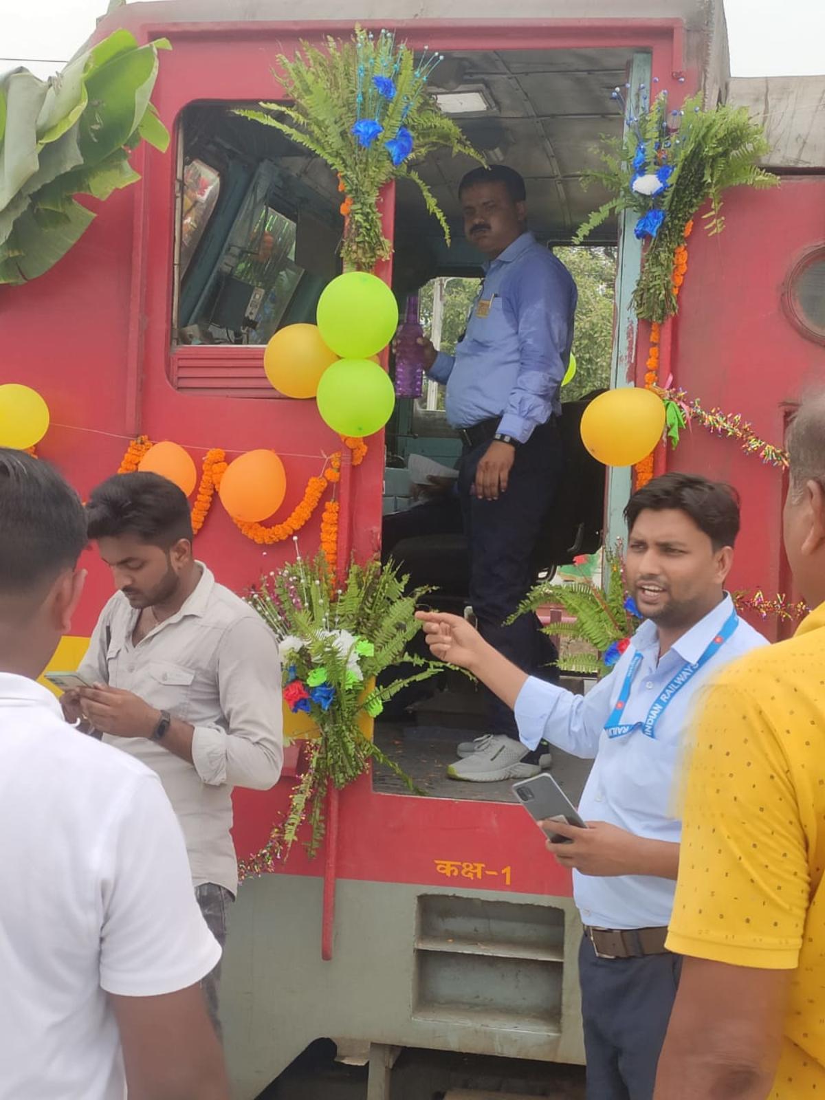
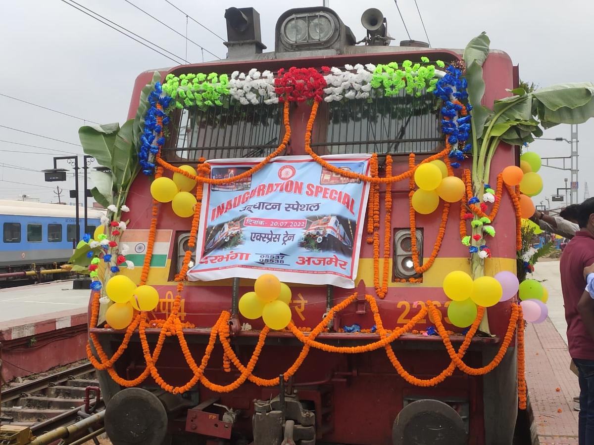
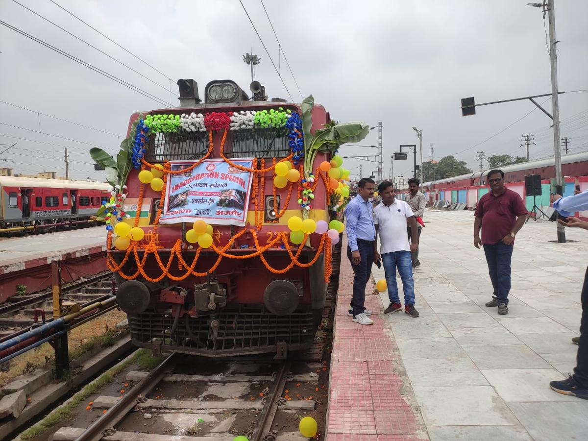
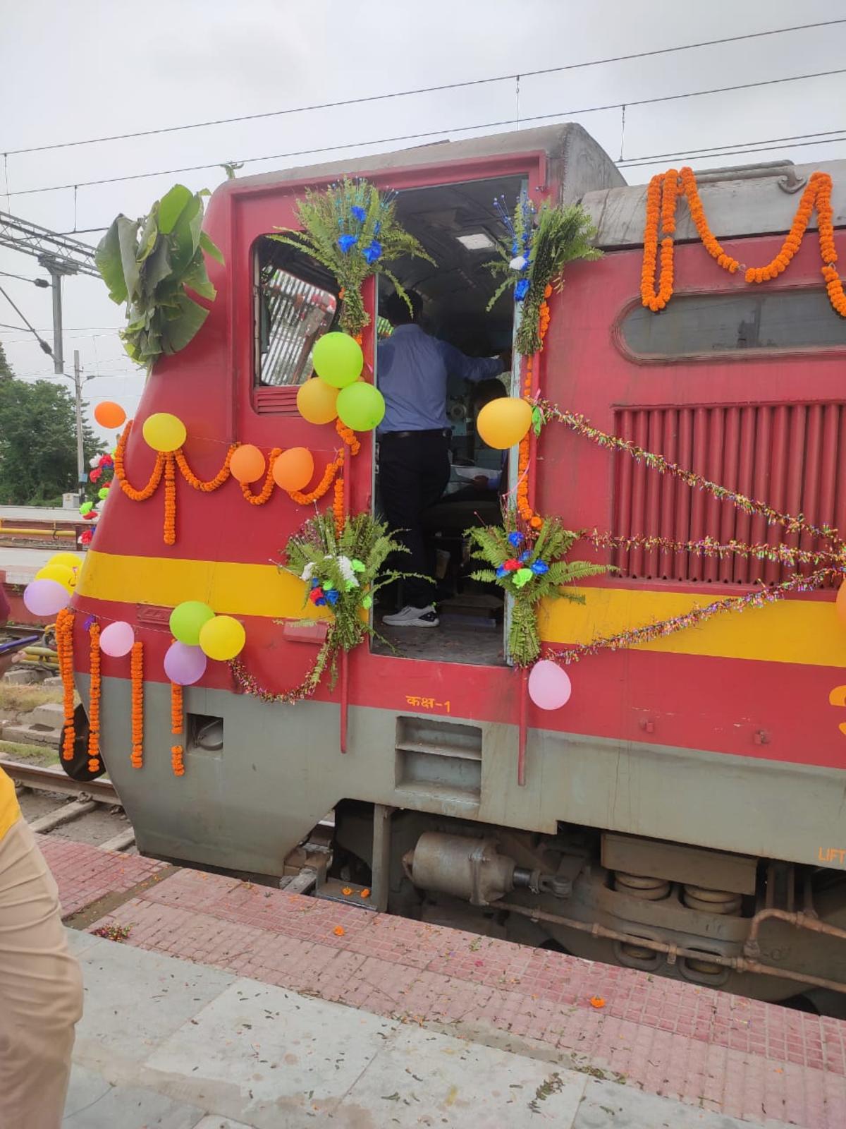
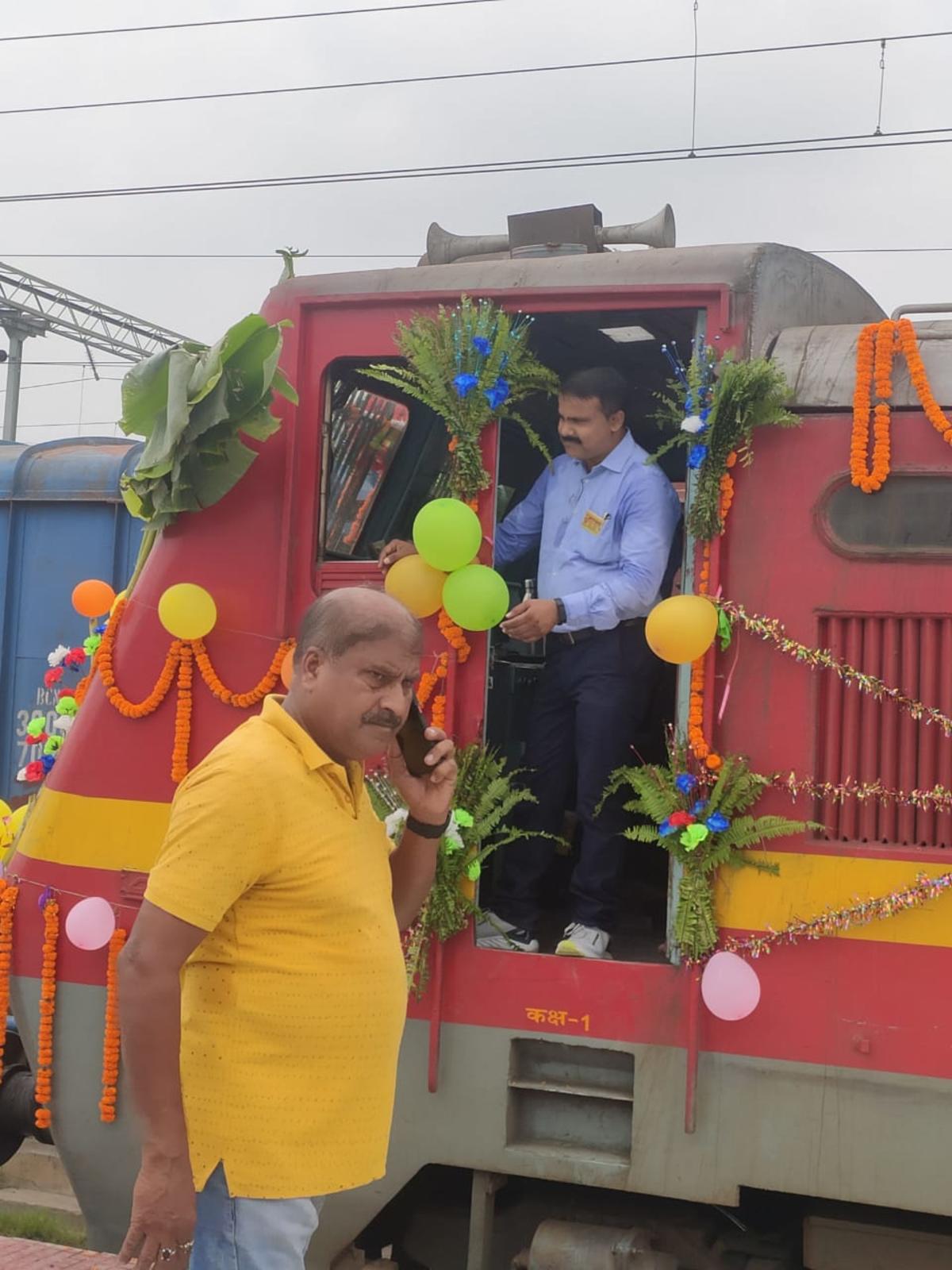
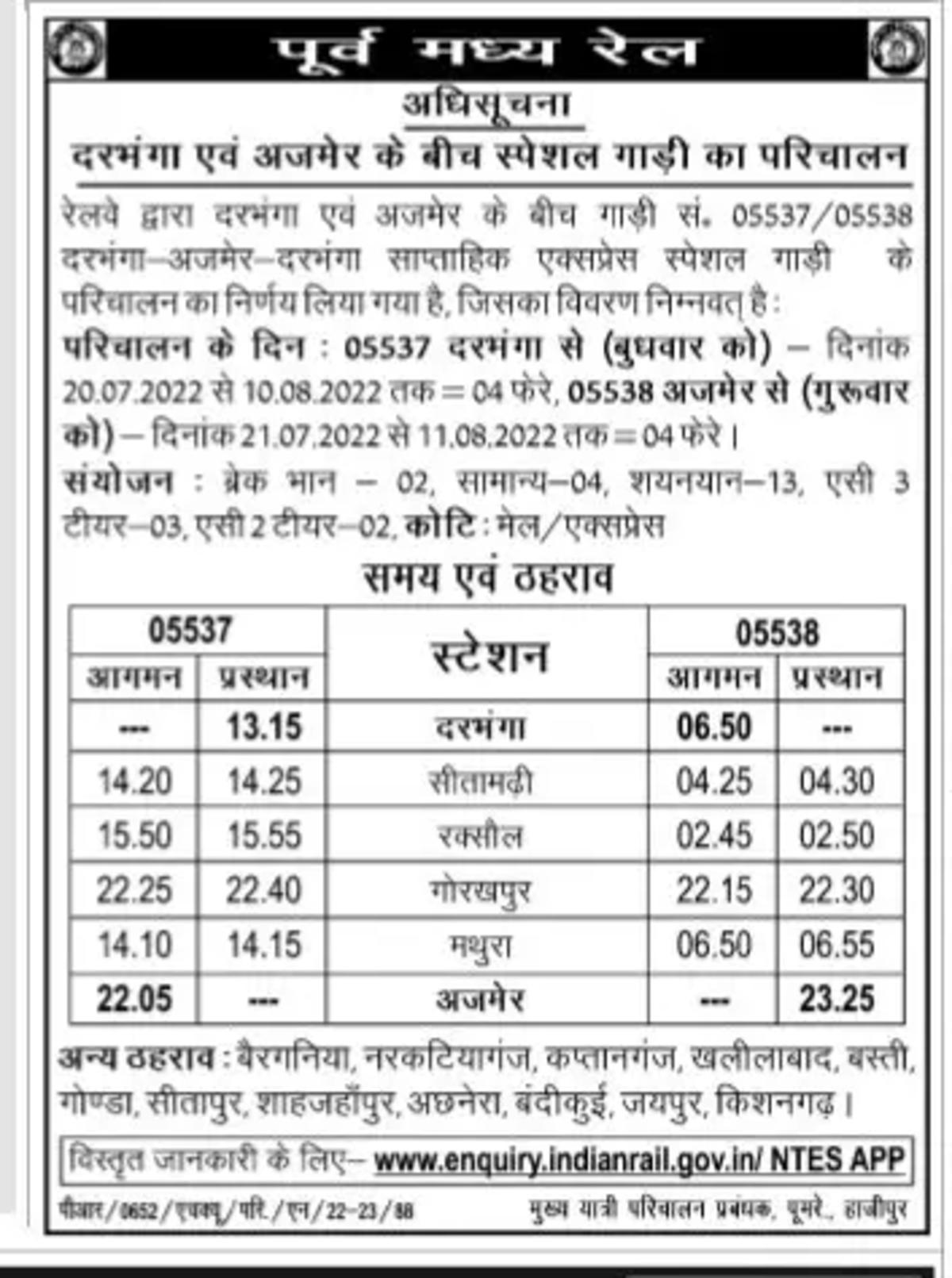
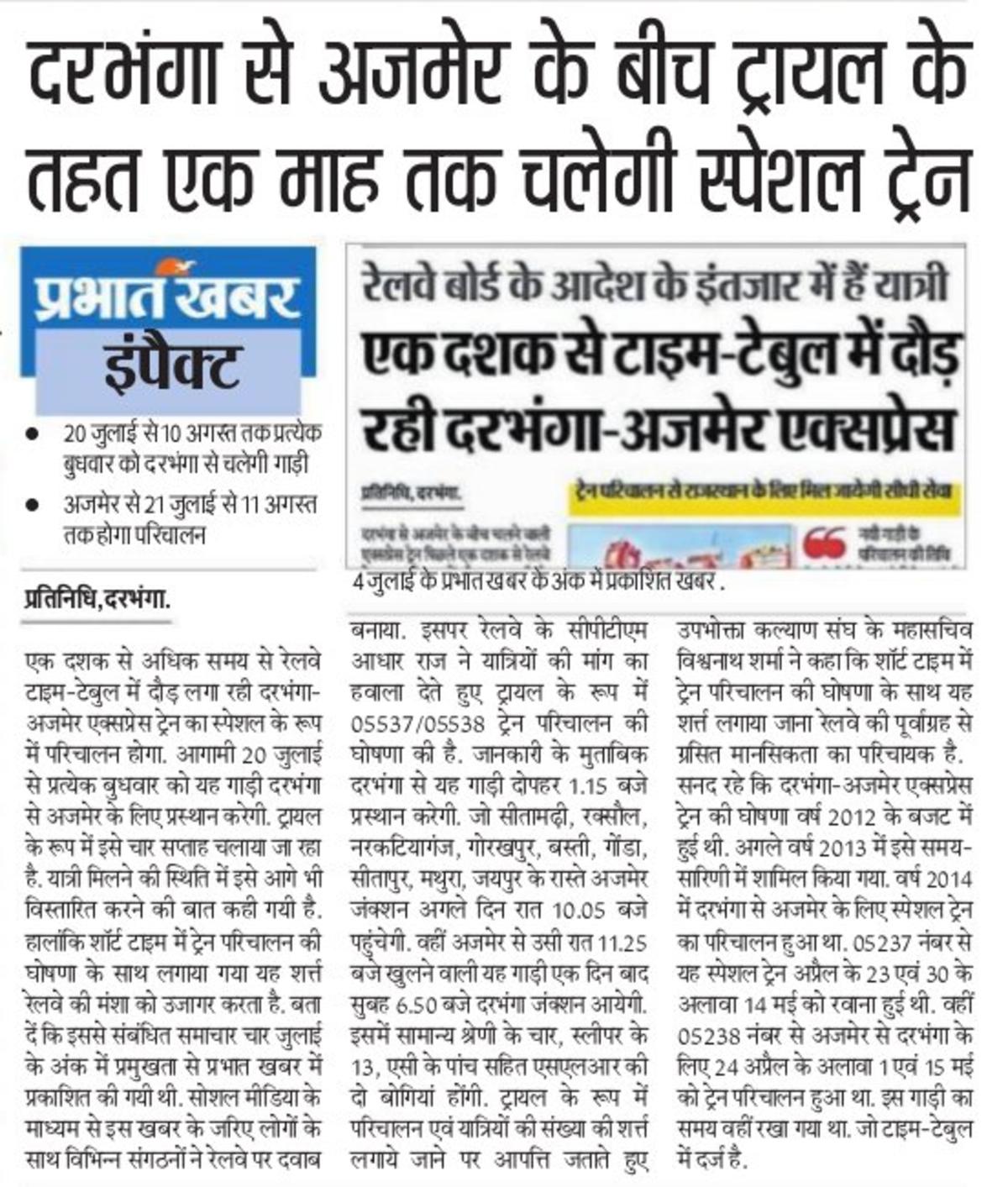
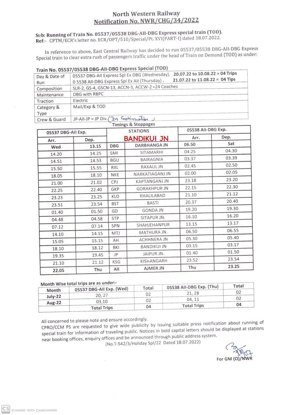
Jul 20 2022 (12:40) 05537/Darbhanga - Daurai (Ajmer) Special Fare Summer Special | DBG/Darbhanga Junction (5 PFs) | HWH/WAP-4/22635
Pp
Pp 5315 blog posts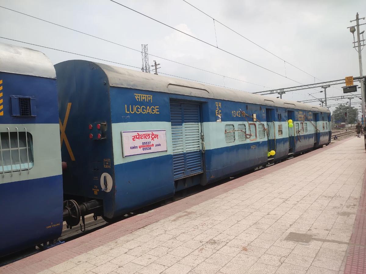
Placed on PF 1 (Bedroll) <br /><a href="https://twitter.com/Harishatweeter/status/1549683523195645952?s=20&t=9vt6ne8iAxxXuRw_Ca4T3g" title="ht...
more...
more...
3 Public Posts - Wed Jul 20, 2022
Jul 20 2022 (11:34) 05537/Darbhanga - Daurai (Ajmer) Special Fare Summer Special | DBG/Darbhanga Junction (5 PFs)
Pp
Pp 5315 blog posts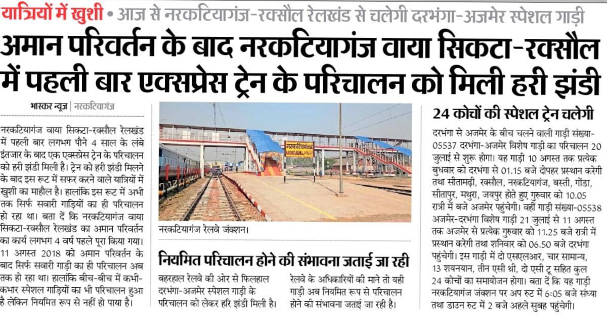
Mar 07 2022 (13:57) 15705/Champaran Humsafar Express | KIR/Katihar Junction (9 PFs)
Sakthivel~
Sakthivel~ 2635 blog postsDo this train was permanently cancelled due to ZBTT implementation?
1 Public Posts - Mon Mar 07, 2022
As per last info due to Power Car shortage this train is pending.<br />Now this can be a (false) reason.<br />However this train...
more...
more...
Jul 18 2022 (18:25) 05537/Darbhanga - Daurai (Ajmer) Special Fare Summer Special | DBG/Darbhanga Junction (5 PFs)
Pp
Pp 5315 blog posts

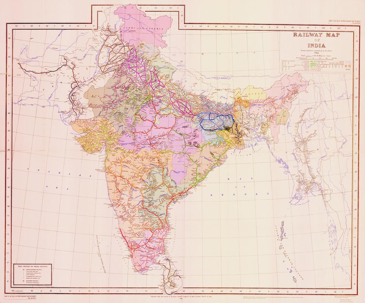

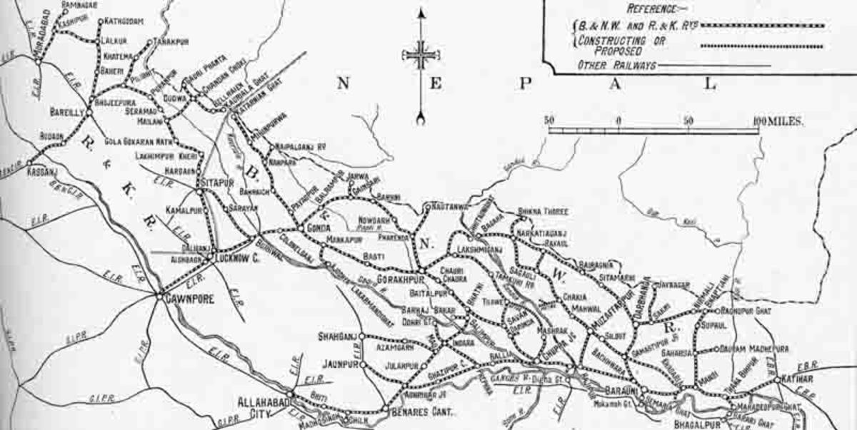
<a href="/blog?h=Know_Your_History" >#Know_Your_History</a> <a href="/blog?h=Old_IR_Maps" >#Old_IR_Maps</a><br />Sharing some very OLD and of...
more...
more...
1 Public Posts - Thu May 05, 2022
IR is not using new routes <br />See what they are doing with Jabalpur-Nagpur GC line<br />There are so many examples<br />Railwa...
more...
more...
1 Public Posts - Thu May 05, 2022
Just because of George Fernandes<br />Not only he made Konkan Railway but restored (Bugaha-Chhitauni) Valmikinagar-Paniyahwa rail link...
more...
more...
4 Public Posts - Thu May 05, 2022
Travel SAFE
1. RailFanning does NOT MEAN dangerous pics/videos.
2. Doorplating pics/youtube videos are strictly FORBIDDEN in IRI.
3. Take plenty of food pics and other safe pics.
4. Write human interest narratives to make the pics interesting.
5. Enjoy blogging and travelling SAFELY.
REMEMBER: YOUR LIFE is the most precious thing, NOT RailFanning.
Scroll to Top