 |
| ||||||||||||||||||||||||||||||||||
| Post PNR | Post Blog | Advanced Search |
Filters:
Page# 12 Blog Entries next>>


#Know_Your_History #Old_IR_Maps
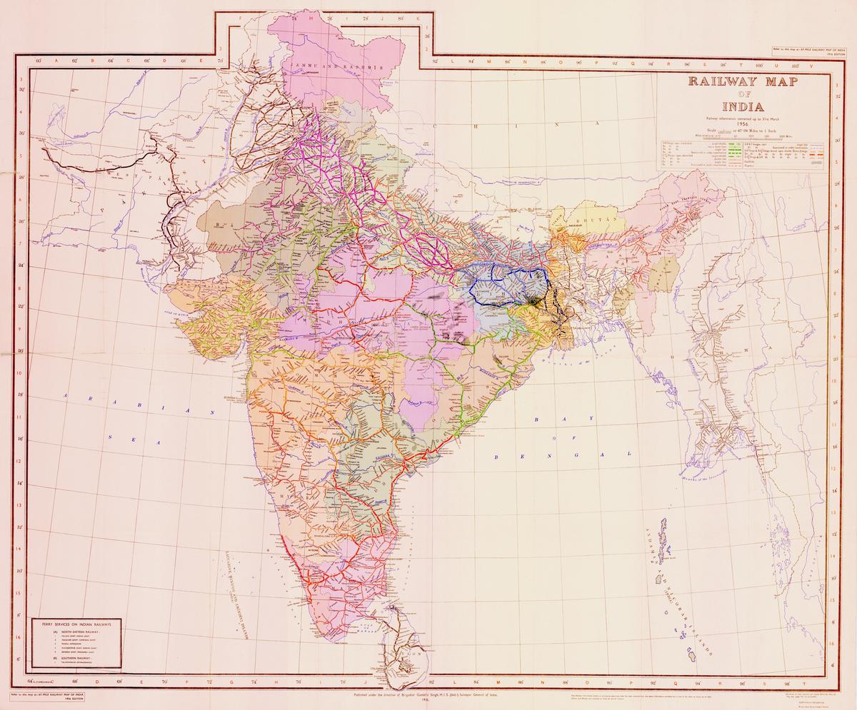
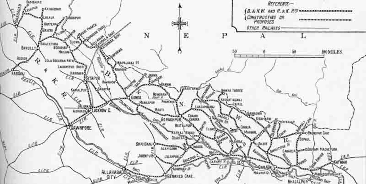
Sharing some very OLD and official Map of Indian Railway System
These high resolution #Map (except B/W) are very authentic and are of 1931/1942-43 and 1956
These Maps also clearly proves that Indian Railways has no proper authentic info about her own history thus often gives wrong info in pulic
Example...
more...
8 Public Posts - Thu May 05, 2022
Jan 18 2019 (09:42) 22221/Mumbai CSMT - Hazrat Nizamuddin Rajdhani Express | CSMT/Mumbai CSM Terminus (18 PFs)
Preet_Lal~
Preet_Lal~ 434 blog postsI think Stoppage is too Much. Nasik and Jalgaon should be removed. Directly Bhopal stoppage should be there
18 Public Posts - Fri Jan 18, 2019
Dec 17 2021 (08:31)guest
Well, this ........................... aged well 😂
Even after years this is one of the funniest blogs I've seen 😂
Just saw it again after years 😂
#old_memories #throwbackfriday
Even after years this is one of the funniest blogs I've seen 😂
Just saw it again after years 😂
#old_memories #throwbackfriday
8 Public Posts - Fri Dec 17, 2021
Aug 25 2021 (10:59) 12779/Goa Express (PT) | DD/Daund Junction (5 PFs) | PUNE/WDG-3AYusuf_Azhar^ 52858 blog posts
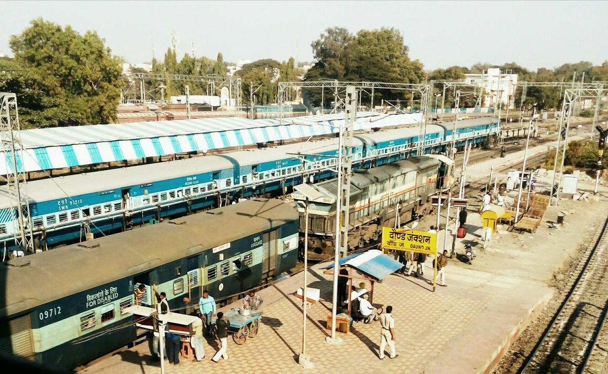
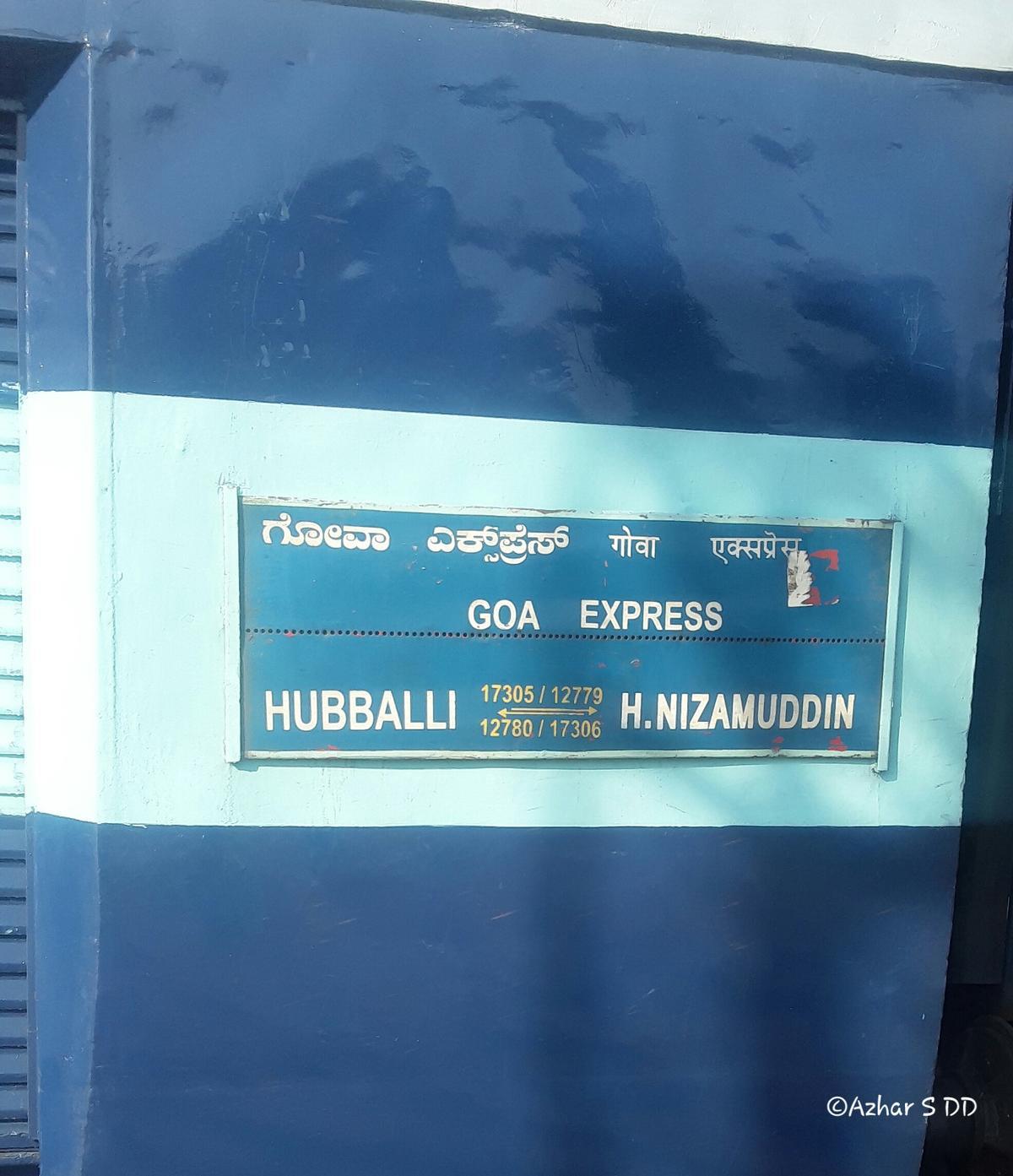
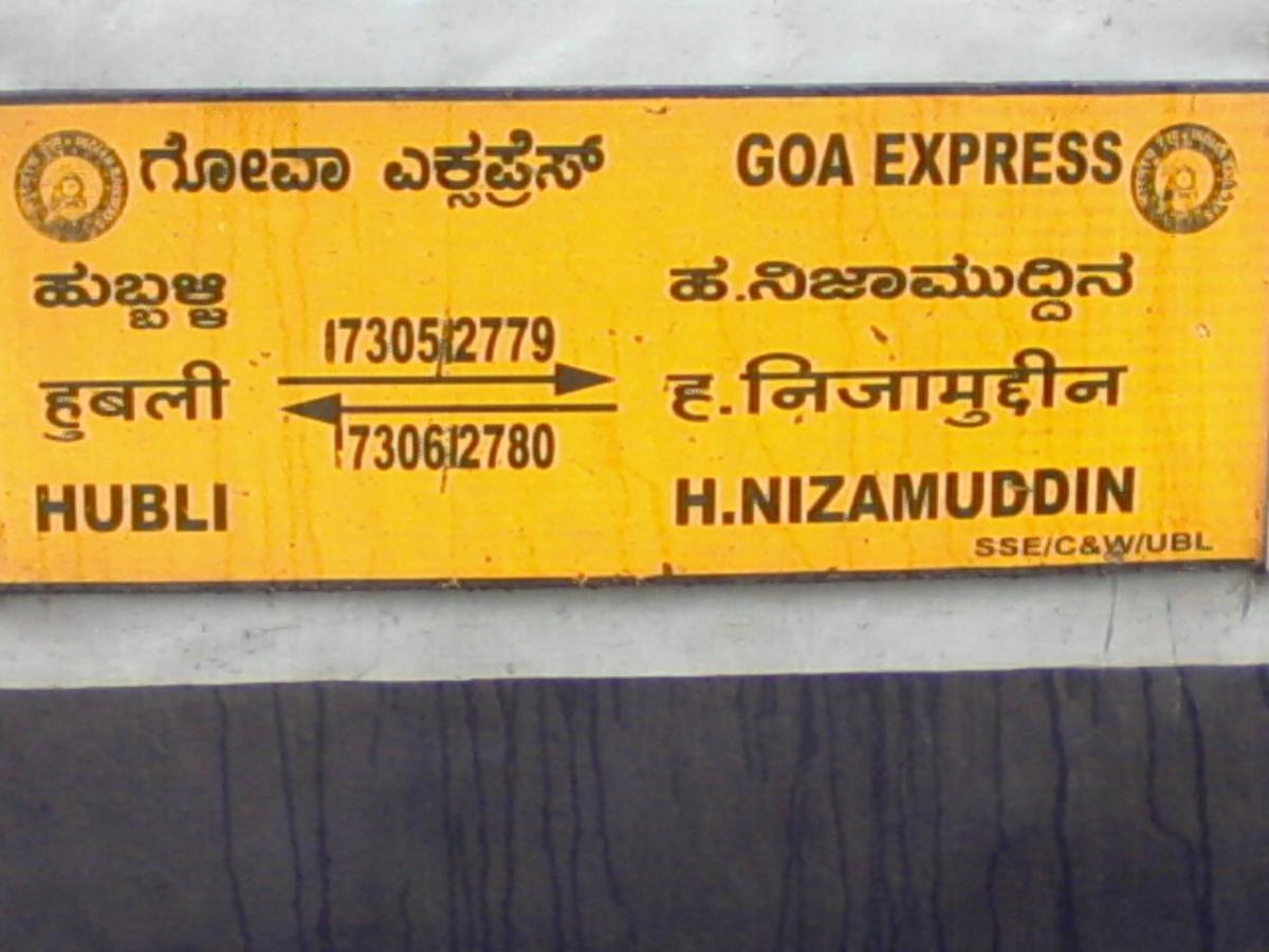
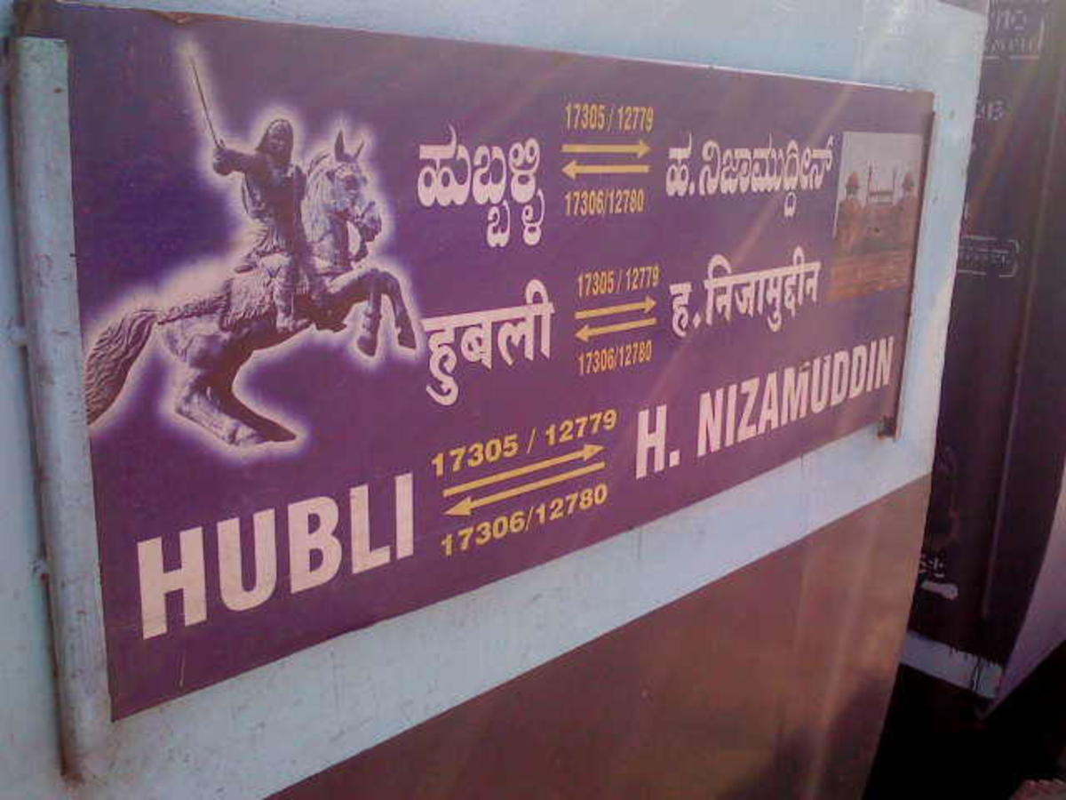
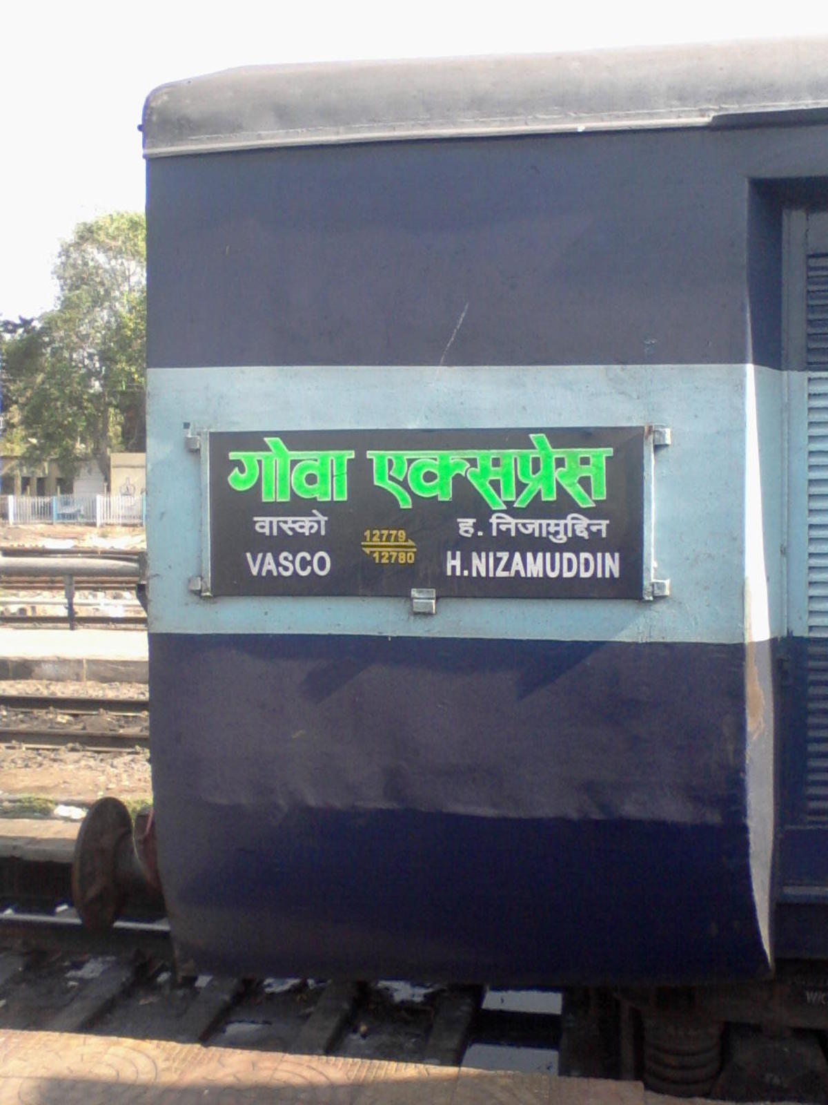
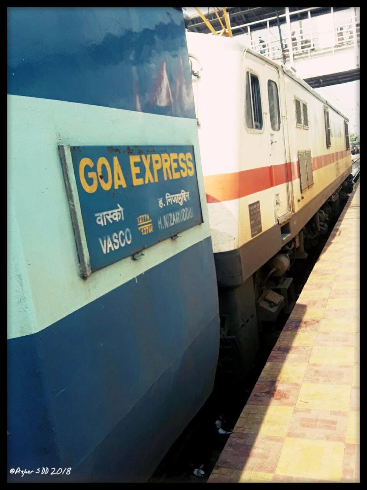
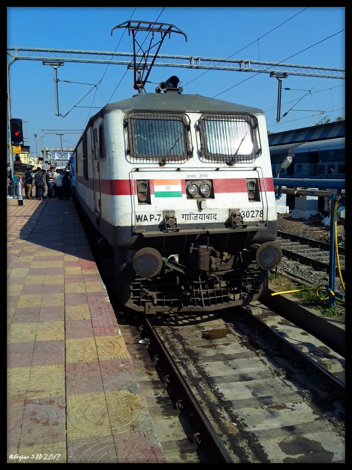
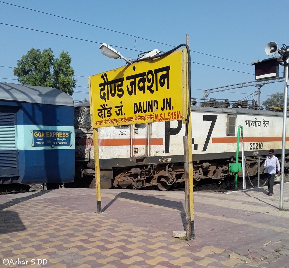
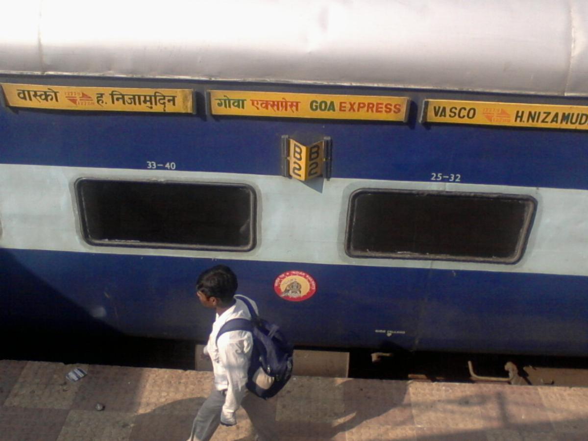
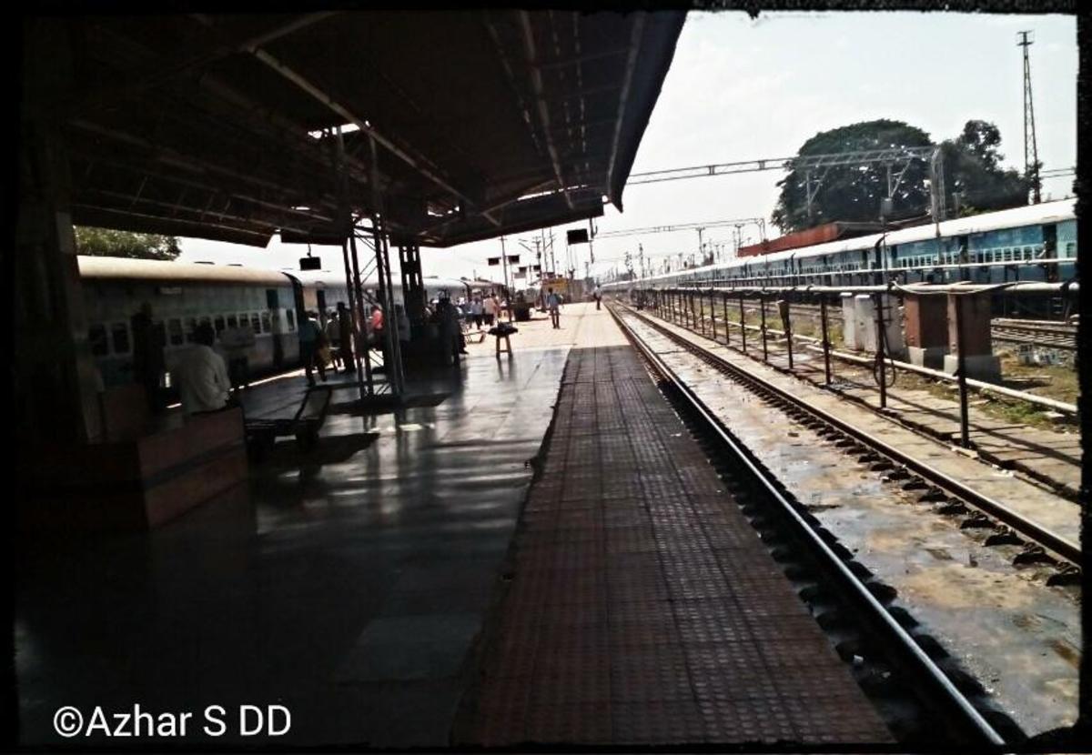
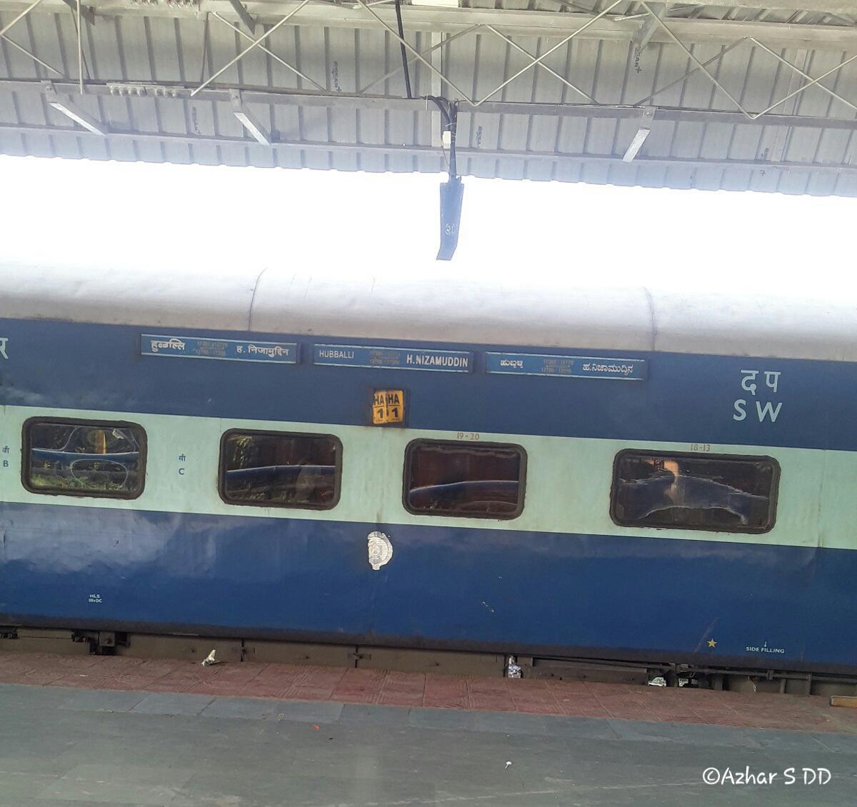
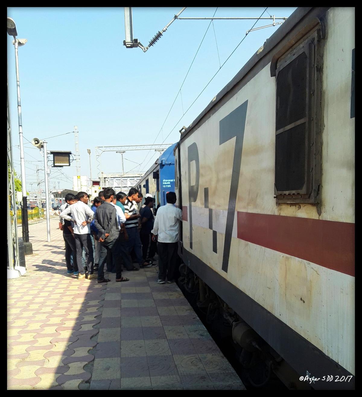
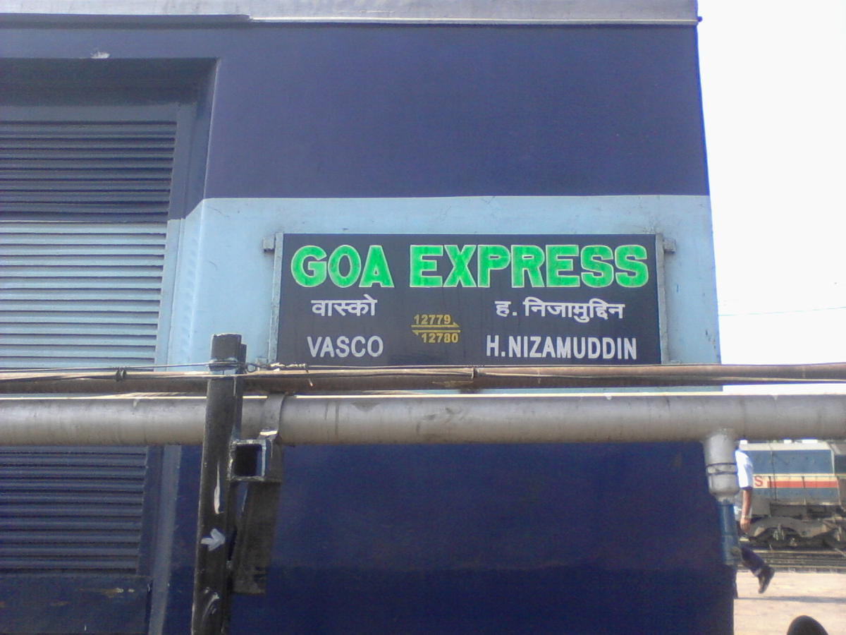
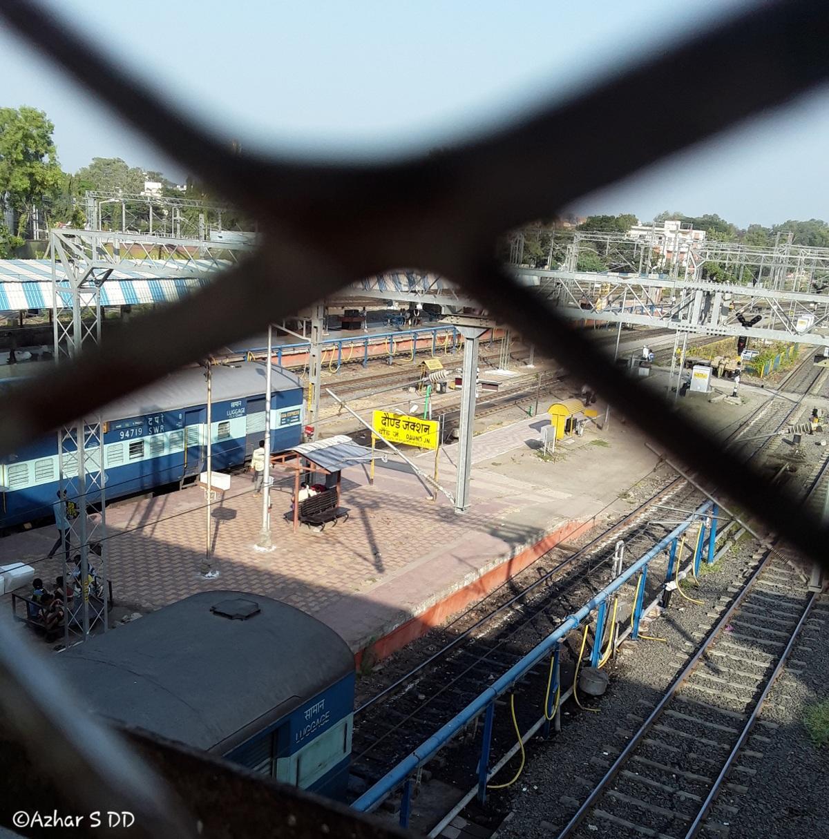
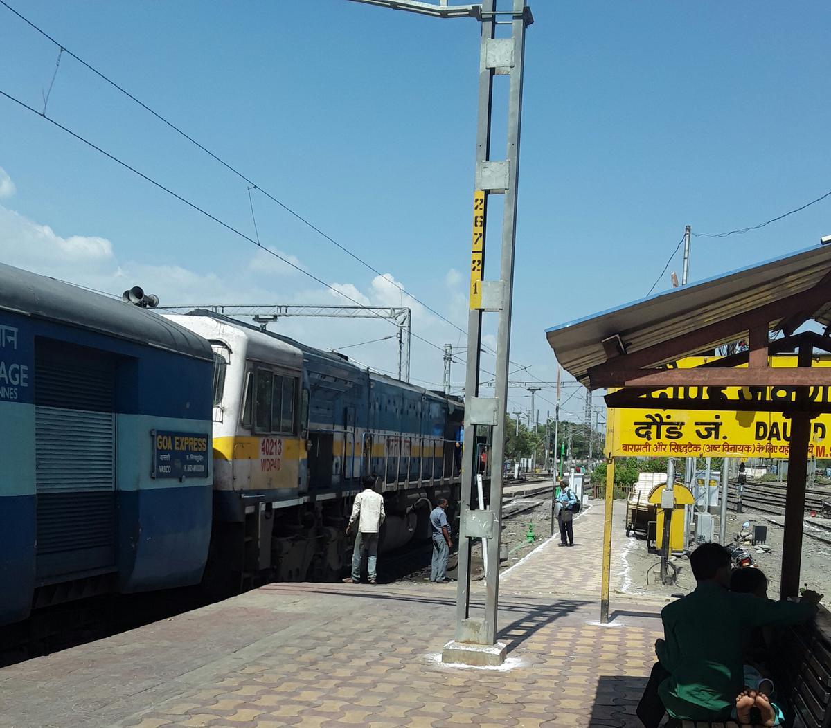
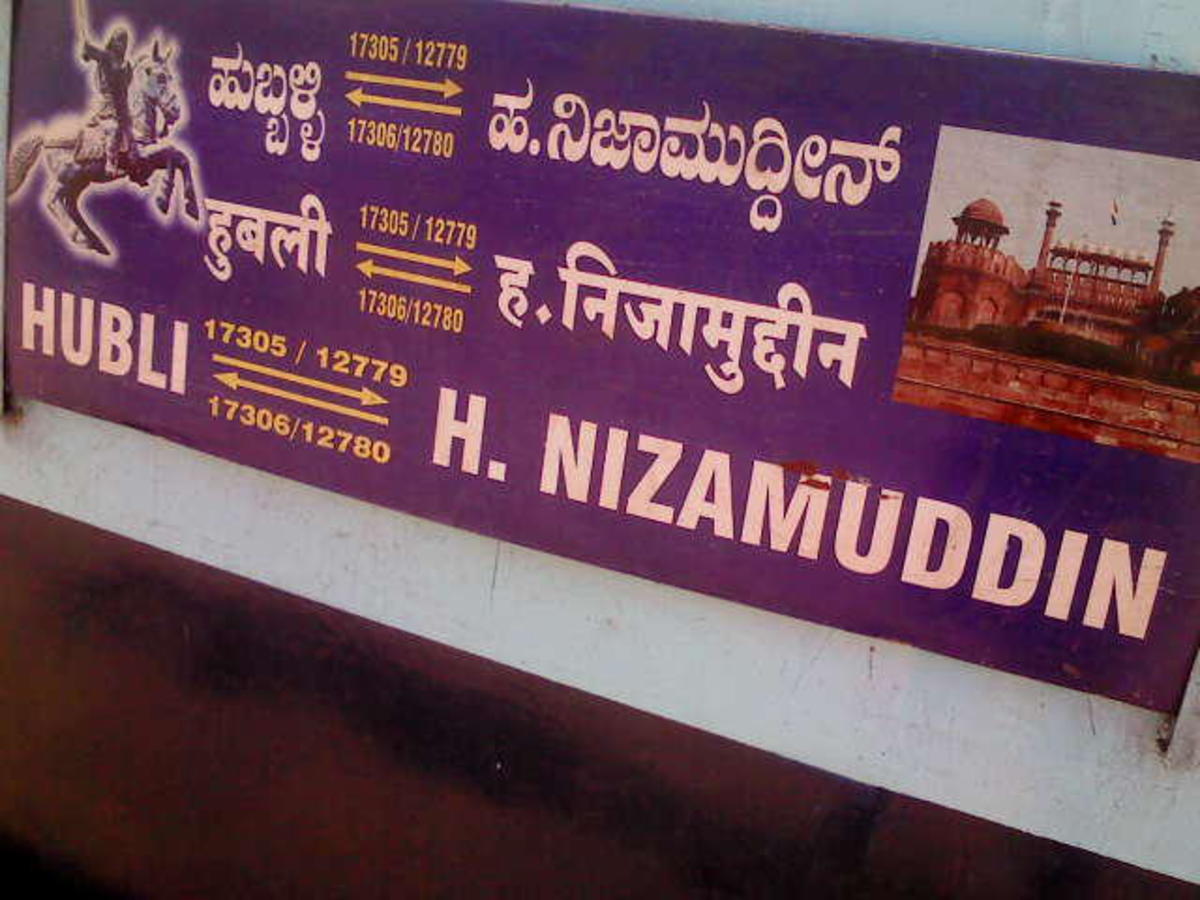
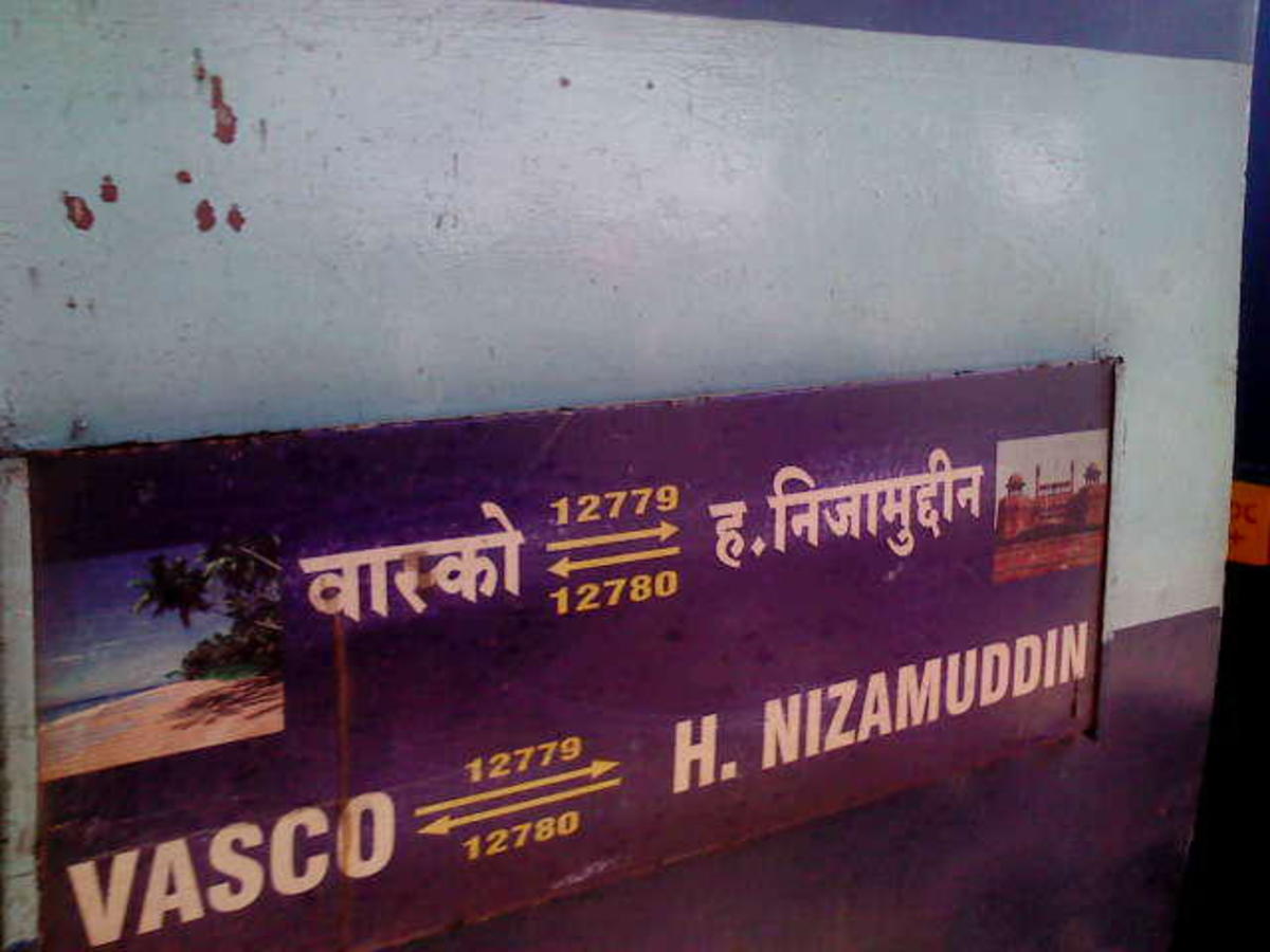
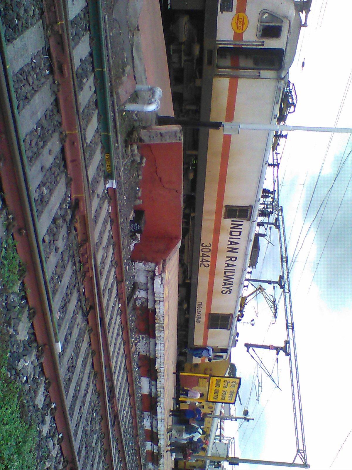
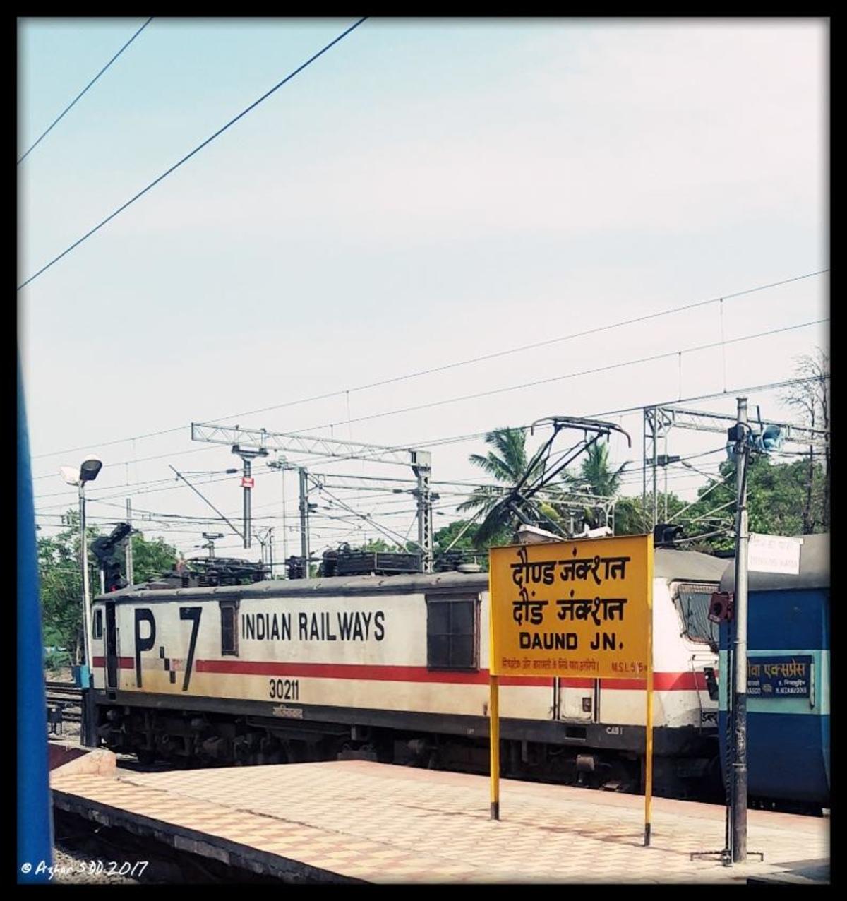
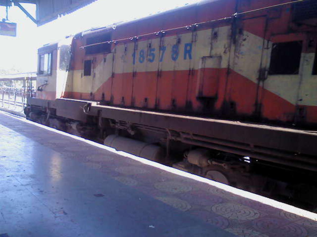
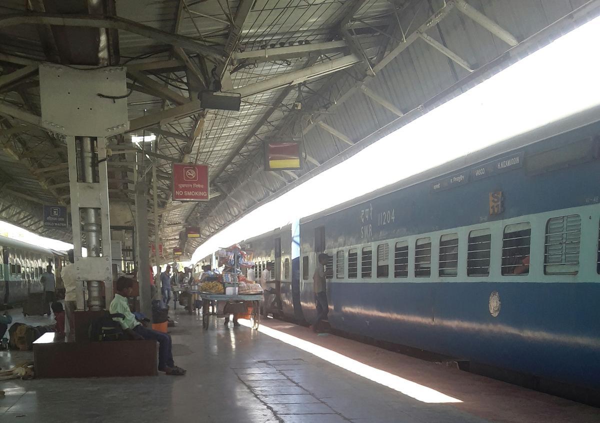
#old #memories of #goaexpress #atdaundjunction
Old Memories of One of the Prestigious Train of SWR UBL DIV , Vasco - da - gama - H.Nizamuddin Goa Express , My Photo collection from 2011 To till 2020.!
Announcement...
more...
Old Memories of One of the Prestigious Train of SWR UBL DIV , Vasco - da - gama - H.Nizamuddin Goa Express , My Photo collection from 2011 To till 2020.!
Announcement...
more...
22 Public Posts - Wed Aug 25, 2021
6 Public Posts - Thu Aug 26, 2021
Mar 23 2021 (14:17) 12175/Howrah - Gwalior Chambal Express (PT) | BNDA/Banda (3 PFs)SPSingh^~ 2175 blog posts
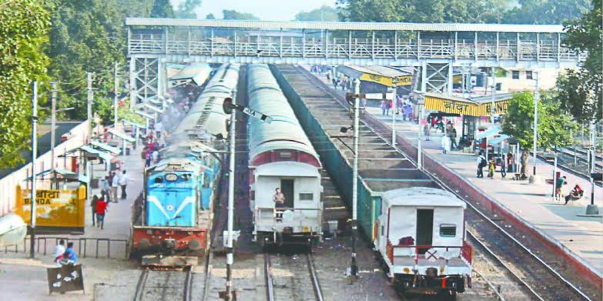
In old days Chambal Express at Banda Station and ready to depart after green signal. On that days Jhansi- Manikpur Section was non-electrified section.
Pic Source:- News Paper
2 Public Posts - Tue Mar 23, 2021
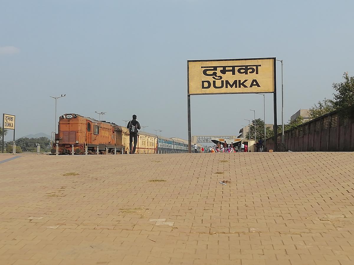
Jul 06 2020 (20:17) 53081/Rampurhat - Jasidih Passenger (UnReserved) | DUMK/Dumka (3 PFs)AnkujhaDumka~ 154 blog posts
Page# 12 Blog Entries next>>
Travel SAFE
1. RailFanning does NOT MEAN dangerous pics/videos.
2. Doorplating pics/youtube videos are strictly FORBIDDEN in IRI.
3. Take plenty of food pics and other safe pics.
4. Write human interest narratives to make the pics interesting.
5. Enjoy blogging and travelling SAFELY.
REMEMBER: YOUR LIFE is the most precious thing, NOT RailFanning.
Scroll to Top